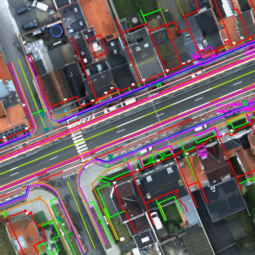
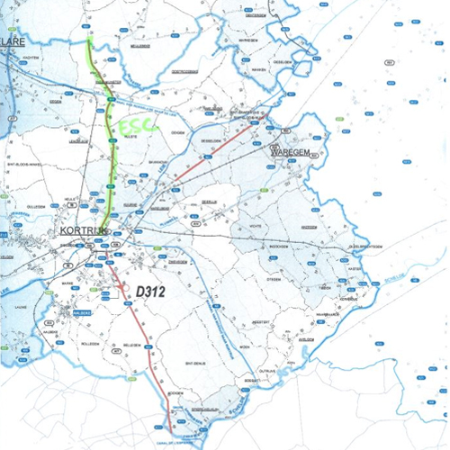
For this project, we provided comprehensive 3D mapping services of Belgian highways, utilizing a combination of point cloud data and high-resolution aerial photographs. By integrating these technologies, we created accurate and detailed digital representations of the highways, ensuring precise topographical and infrastructural mapping.
Our process adheres to the strict standards and regulations required for such large-scale infrastructure projects, ensuring compliance with national and industry guidelines. The resulting 3D maps provide an invaluable resource for road management, maintenance planning, and future development, enabling stakeholders to assess and plan with enhanced accuracy.
This project showcases our expertise in advanced geospatial technologies, offering innovative solutions for large-scale mapping and infrastructure management.
Project Details
Project 3D Mapping Haighways, Belgium
Volume 13.000 km
Customer:


