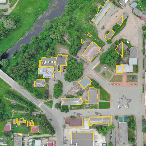
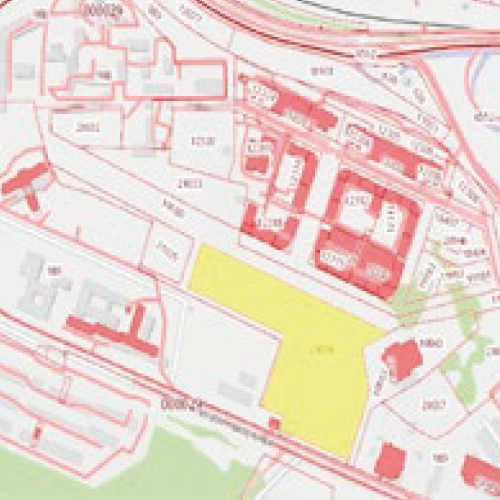
In this project, we completed the annual updates of digital maps for municipalities. The primary objective was to identify and map changes by comparing the current state with the previous year’s data. This ensured that municipalities maintained accurate and up-to-date records of their infrastructure and geographical changes.
Key Achievements:
-
Annual Digital Map Updates: Each year, we meticulously analyzed the differences between the previous year’s maps and the present state, identifying changes in infrastructure, buildings, and landscapes. These updates were then integrated into the digital maps.
-
Change Detection and Mapping: Our process involved advanced comparison techniques to pinpoint new developments, demolitions, or changes in land use, ensuring that municipal maps reflected the most current and accurate information.
-
Adherence to Mapping Standards: All updates followed national and local standards for municipal mapping, ensuring compliance and uniformity across all digital records.
Project Outcomes:
-
Enhanced Accuracy of Municipal Maps: By detecting and mapping changes annually, we ensured that the digital maps provided an accurate reflection of real-world conditions, supporting better decision-making and resource allocation.
-
Streamlined Planning and Development: The updated maps enabled municipalities to plan new projects, manage public works, and monitor urban development with real-time, precise data.
-
Compliance with Municipal Standards: The process was fully aligned with the required standards for municipal mapping, ensuring that the updated maps met regulatory requirements and supported efficient governance.
This project highlighted our expertise in maintaining up-to-date digital maps, supporting municipalities in their efforts to manage urban growth and infrastructure effectively.
Project Details
Project Bag-Bgt-Woz
Volume 125 municipalities
Customer:


