GIS Services
ESC’s GIS experts are ready to digitize maps, plans, charts and other graphic documents according to geographic and cartography principles

Map and Infrastructure Digitalization
- Strategic Map Production from Satellite maps
- Digital Map updates from aerial photos for municipalities,
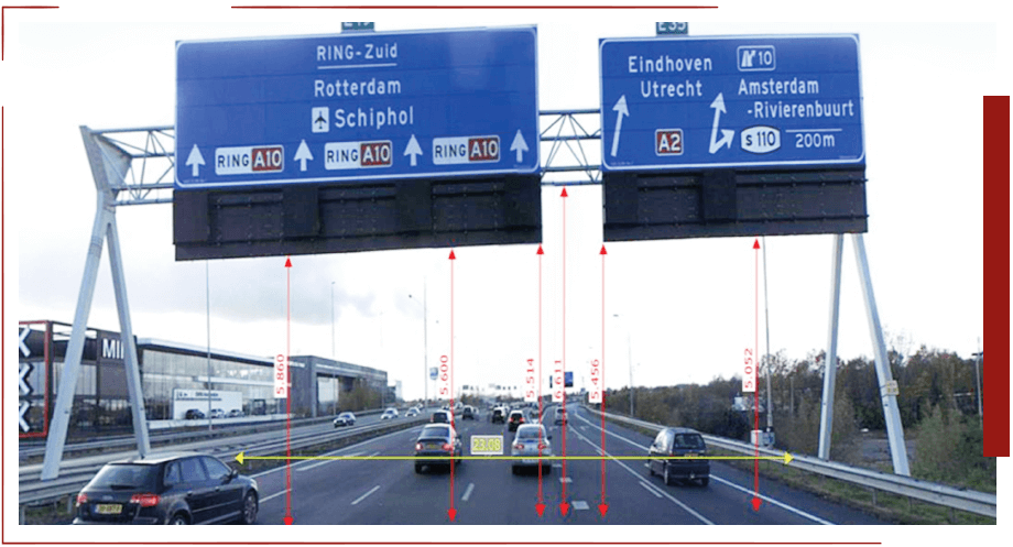
- Highway and highway structures drawings from lidar scan data (2D or 3D),
- Water and waste water infrastructure projects,
- Railway infrastructure projects,
- Digitalization Agricultural Parcels from Aerial Photo
Inventory Collection
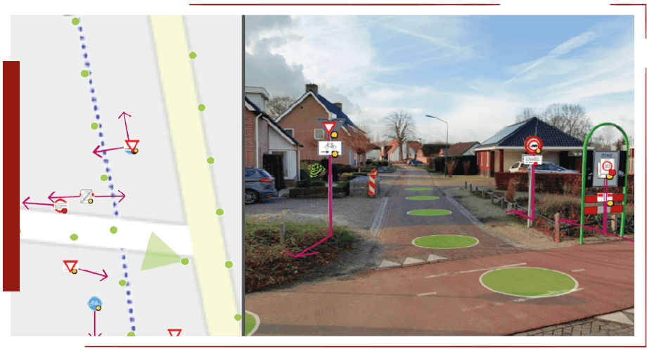
It is the project of 360 degree panoramic photographs, lidar scanning, aerial photographs and satellite photographs based inventory collection and defining and managing inventories according to the regulations of the municipality of a country. Defining inventory of streetlights, traffic signs, trees, manholes, solar panels, asbest based on municipality or country regulations.
Various inventory projects are carried out in Germany, Finland, Sweden and America and mainly in Netherlands.

Crowd Management
- Human crowd management analysis
- Highway crowd management analysis
- Sea and waterway crowd management analysis
Database Management
It is used to classify documents received from customers according to the rules determined by the customer and to collect drawing information. For such projects, we use our own software.


Database Management
It is used to classify documents received from customers according to the rules determined by the customer and to collect drawing information. For such projects, we use our own software.
