Mobile Mapping
Quickly and cost-effectively collect your large inventory of assets such as street lights, traffic signs, trees, manhole covers, billboards and more.
Navigate your city's challenges with street-level data
All cities face the same challenge: how to factor the complex moving parts of your infrastructure, public transportation, housing, construction, and sustainability into daily business activities.
The task of managing all these diverse pieces can be overwhelming. That’s why you need to take your first step towards becoming a smart city: getting an overview. Adding a layer of data gives you a clear understanding of the components that make up your city and provides insights you can use to improve your city for all citizens.
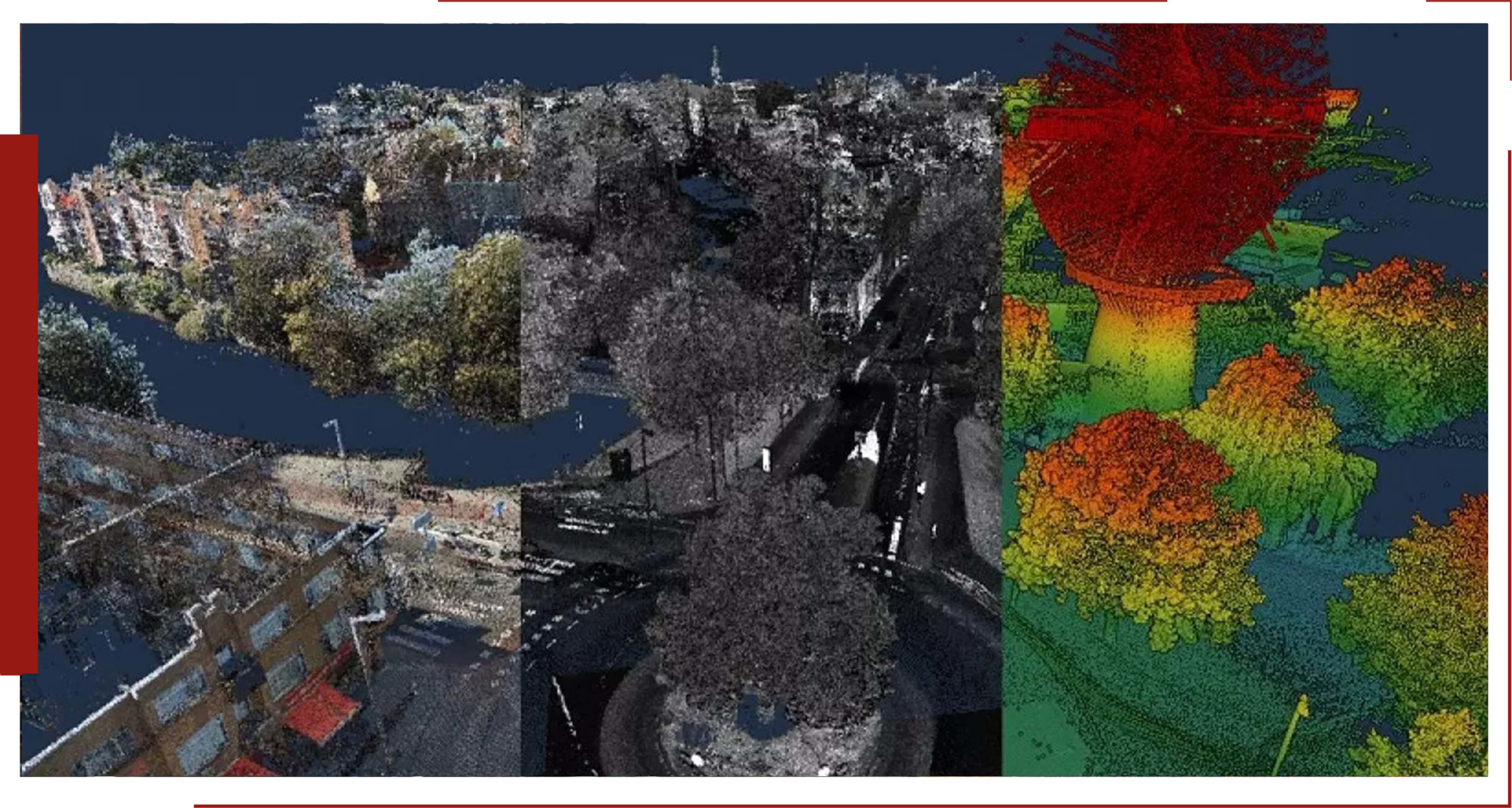
LiDAR Point Cloud
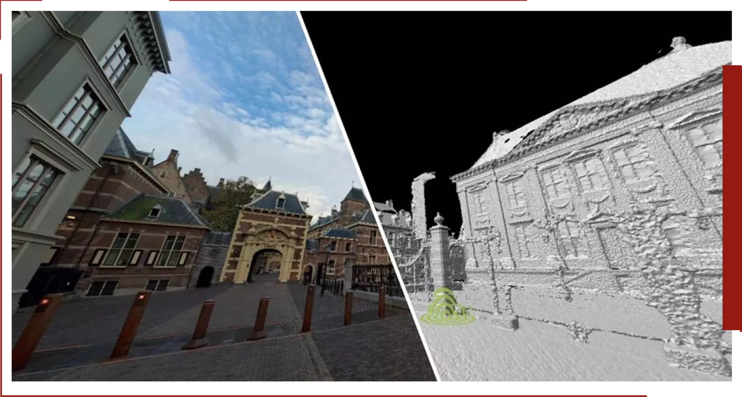
The LiDAR Point Cloud from ESC Engineerig is a three-dimensional point cloud with a very high density. ESC Engineering leverages the benefit of capturing LiDAR data simultaneous to capturing our GeoCyclorama imagery. With this synchronous collection method, we ensure the highest level of both quality and accuracy. We further enhance the LiDAR data by processing it with our proprietary CycloPositioner software, to increase its positional accuracy and to perfectly align with our imagery. This, together with the natural colors processed in the point cloud from our GeoCycloramas, makes the LiDAR Point Cloud a photorealistic, fully three-dimensional source of information for geo-referencing.
Read More..
Having LiDAR data available also enables the use of ESC Engineering Measure Smart tool, which takes advantage of the 3D GeoCyclorama layer produced from the point cloud, making measuring in GeoCycloramas very easy.
The LiDAR Point Cloud is available for viewing in Street Smart. Parts of the point cloud can also be downloaded for use in other software applications, such as CAD and BIM packages. You can select an area on the map and download a LAZ file for f urther processing in other applications.
3D visualizations for projects
in public spaces
The ESC Engineering LiDAR Point Cloud enables you to visualize public space in 3D in an easy and accessible way. By combining the point cloud with 3D designs of future projects there is a lot to gain in terms of communication towards citizens, within project groups and between client and contractor. This allows you to keep project delays to a minimum.


Measuring and Mapping
Because of the high relative accuracy ( < 1″) it is possible to measure and map directly in the point cloud in 3D. All regular GIS and CAD software has the possibility to import our point cloud. The use of the ESC Engineering LiDAR Point Cloud makes maintenance of basic and core registrations faster and easier, increasing productivity.

