by Mustafa Duman | 24 Oct 2024
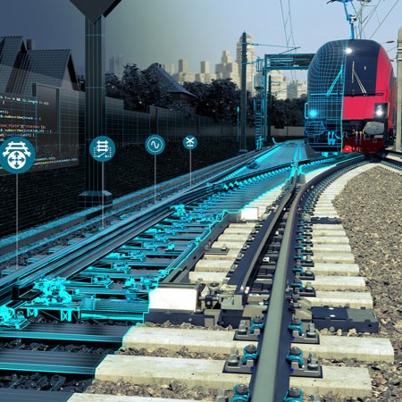
ProRail Railway Solutions,The Netherlands All studies and innovative projects carried out in accordance with the concept of smart urbanism are constantly bringing the need for city models with high location accuracy and up-to-date city models and digital twins of...
by Mustafa Duman | 24 Oct 2024
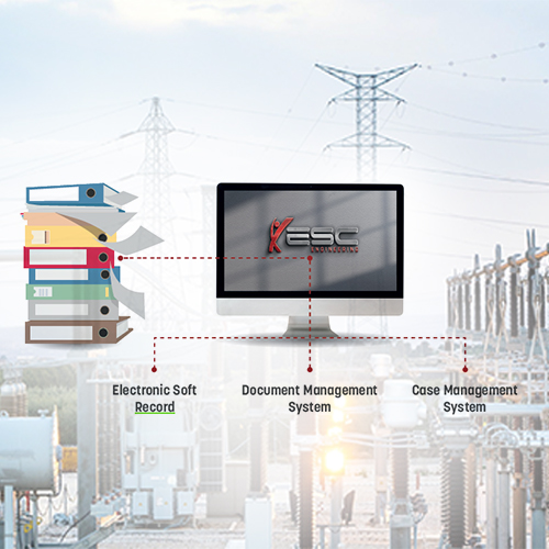
TenneT High Voltage Stations Metadata Management We undertook a comprehensive document management project for TenneT, focused on their high-voltage stations. This project, named “TenneT High Voltage Stations Metadata,” involved meticulous metadata...
by Web Administrator | 23 Dec 2020
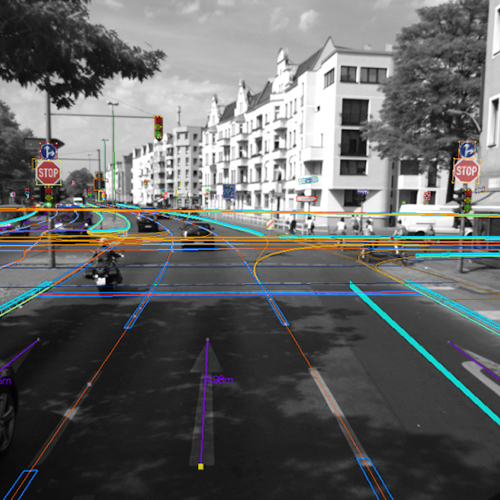
3D Mapping Haighways, Belgium For this project, we provided comprehensive 3D mapping services of Belgian highways, utilizing a combination of point cloud data and high-resolution aerial photographs. By integrating these technologies, we created accurate and detailed...
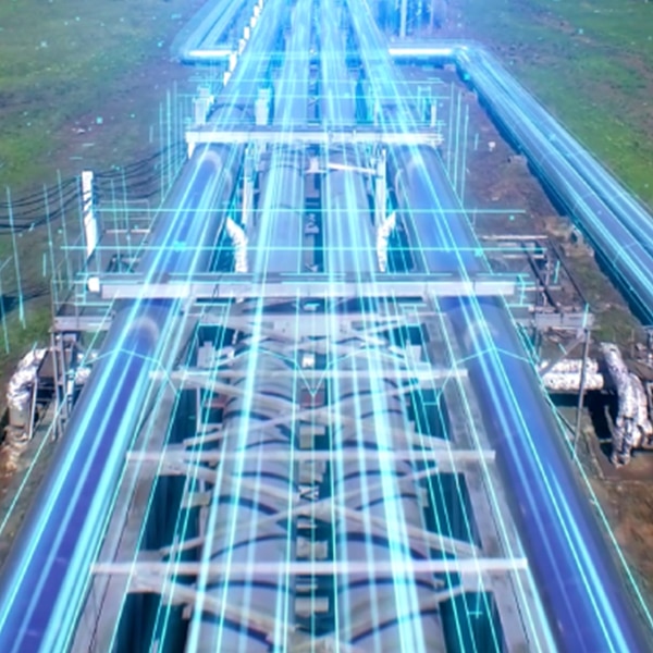
by Web Administrator | 22 Dec 2020
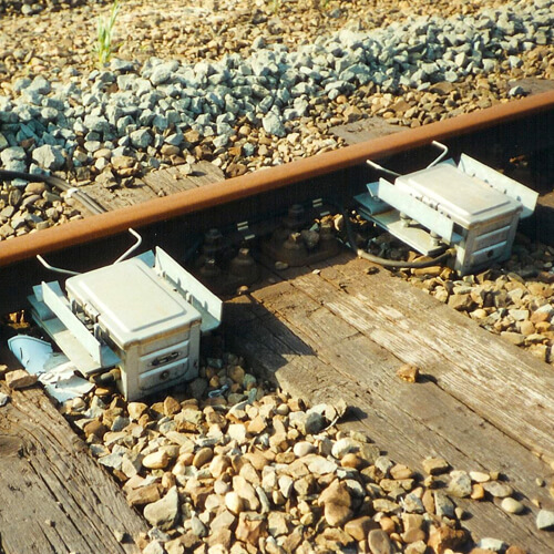
Cabling Network of Railways, Netherlands In this project, we successfully converted the electrical cables and signaling equipment of Dutch Railways from analog to digital records, in full compliance with Dutch railway quality standards. This conversion improved the...
by Web Administrator | 22 Dec 2020
Digitizing Brabant Water, Netherlands In this project, we completed the conversion of construction drawings, waste & domestic water pipes, electrical cables, and mechanical installations at multiple treatment plants in the Netherlands from analog to digital...
Recent Comments