
by Web Administrator | 21 Dec 2020
Sustainable Logistic Plan for Historic City Center, İzmir This project refers to an area of 270 hectares extending from Kadifekale to Historical Kemeraltı. Declared as a renewal area with the decision of the Council of Ministers, the Izmir Historical City Center...
by Web Administrator | 16 Dec 2020
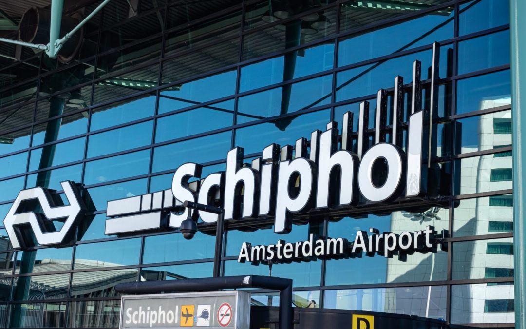
Schipol Airport Point Cloud Drawings In this project, we successfully created 3D drawings of bridges, buildings, and traffic lights at Schiphol Airport using point cloud technology. This advanced process enabled the development of highly accurate digital models,...
by Web Administrator | 16 Dec 2020
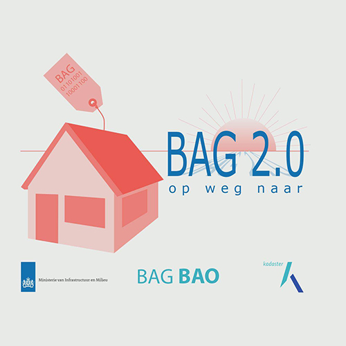
Bag-Bgt-Woz In this project, we completed the annual updates of digital maps for municipalities. The primary objective was to identify and map changes by comparing the current state with the previous year’s data. This ensured that municipalities maintained accurate...

by Web Administrator | 16 Dec 2020
MGCP Projects The project which is being carried out under the auspices of NATO’s defense ministries, involves mapping and digitizing non-NATO countries using satellite photos. In the production, the main object is satellite photos, in addition, according to the...

by Web Administrator | 16 Dec 2020
Signboards Detection and Evaluation, Amsterdam In this project, we completed the assessment of billboard sizes and quantities across Amsterdam, Netherlands. The primary goal was to gather comprehensive data on existing billboards to support effective urban planning...
Recent Comments