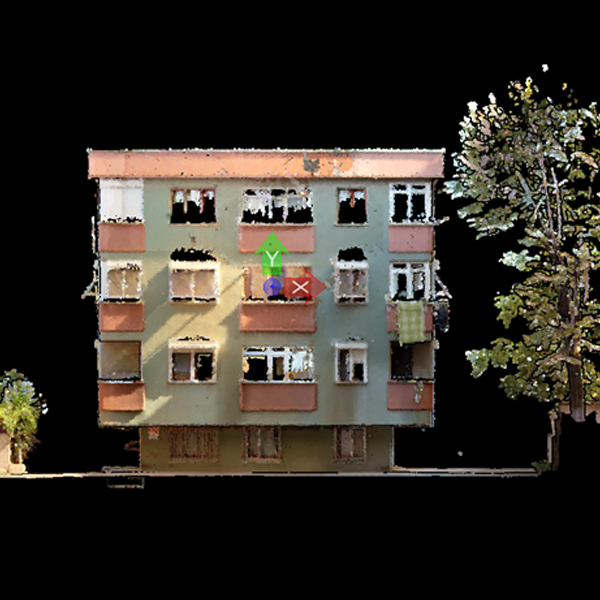
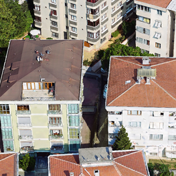
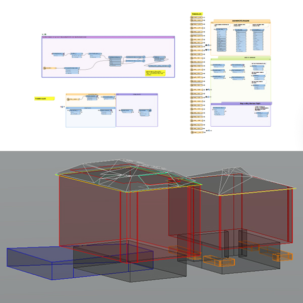
A 3D drawing was made for BIMTAS company, using georeferenced point clouds, mesh model generated from drone data, orthophoto and 360° street panorama photos on the CAD platform of approximately 120.000 buildings within the city limits of Istanbul. Building digitizing were completed using mobile, aerial and drone LiDAR data with the most precise location accuracy. While these drawings were doing, every extra structure on the exterior of the building was drawn.
The roof floor in the building was determined and drawings were made of how much area was used.
The attributes of the building were processed (floor information, elevation information, commercial-residential status, etc.). Also public places, shopping malls, construction or buildings to be demolished in the region were determined. In cases where the point cloud is insufficient, NavVis scanning and adjustment were performed by us for the parts where mobile vehicle cannot enter. After the drawings were completed, necessary controls were made using FME workbenches.
Project Details
Project 3D Building Modeling
Volume 120.000 Building
Customer:


